
Garfield Neighbors by the Block
Public records can describe the parcels around a Garfield address, but they do not create a block roster. The county map helps identify boundaries and adjacent polygons. Garfield's assessment search supplies recorded owner and parcel data. Deeds establish transfer parties and legal descriptions, while permit and property-maintenance files describe work or inspection at an address. Each source needs its own access route and each leaves important household facts unknown.
| Source | What It Shows About a Block | Access |
|---|---|---|
| Bergen County Parcel Viewer | Parcel boundaries, map context, adjacent polygons, and available identifiers | Public ArcGIS viewer; county GIS support is available at 201-336-6446 |
| Garfield assessment search | Recorded owners, property locations, block, lot, qualifier, and assessment fields | Public district 0200 search; street-wide search behavior was not verified |
| Bergen deed index | Transfer parties, instruments, dates, and legal descriptions for a parcel | Public web access from 1970 forward; county counter, archive, or microfilm for older work |
| Voter status or file | Official registration status and lawful election-district fields | Individual State portal or county request, subject to legal protections |
| Building and maintenance records | Permit, inspection, or violation evidence tied to an address | FastTrack, city office, or an OPRA request; no online historical case search was located |
| Historical Society files | Belmont Gardens, maps, street names, churches, schools, and organizations | Finding aid and arranged access through the library or society |
A recorded owner may live elsewhere, a parcel may be vacant or business-owned, and a mailing address may be outside Garfield. Those facts make parcel comparison useful for property research, not a reliable declaration of who is physically present at a home.
Map a Garfield Neighbor Block
Start with the target parcel, not a name. The County Parcel Viewer loaded as an ArcGIS shell during research, but its text view did not expose exact search, buffer, measure, or layer controls. The safe, verified method is a parcel-by-parcel comparison: identify the target, note the available identifier, then inspect the polygons sharing a boundary or positioned across the street. Use the assessor and Clerk to test any owner detail that the map suggests.
- Locate the Garfield street segment in the Parcel Viewer and click the target parcel at a readable map scale.
- Record its block, lot, parcel identifier, or linked record reference if the live viewer provides one.
- Click each adjacent or opposite parcel and keep those parcel facts separate from any name attached to them.
- Search each parcel in the Garfield assessment system, comparing property location, recorded owner, mailing address, block, lot, and qualifier.
- Confirm a title question through the Bergen deed index, using legal description, grantor, grantee, and recording date instead of the street number alone.
That process traces the immediate block. For a full named-street record chain, use the Garfield street directory rather than extending a parcel comparison beyond what the map and records can support.
Garfield Parcel Neighbors Need Context
The assessment system distinguishes a property location from the mailing address used for tax notices. It also uses block, lot, and qualifier fields. A parcel is land defined for assessment or mapping purposes, while a situs address is the physical location assigned to it. Neither field establishes who occupies the premises. A company, trust, estate, or absentee owner can appear as the recorded owner.
The map's boundary line is useful for comparing parcels. It is not a survey, a legal boundary opinion, or a proof of residence. Old deeds may use a lot and block or a metes-and-bounds description rather than a familiar street number. When an address does not fit the title chain, keep the legal description constant and check the historical maps held in the Garfield Historical Society collection.
- Parcel
- A piece of land identified for assessment and mapping. It may contain a home, business, vacant land, or more than one unit.
- Situs address
- The physical property location. It is different from a mailing address and does not name every person present there.
- Legal description
- The lot, block, map, or metes-and-bounds description used in a deed to identify the real property.
Garfield Building Records Add Context
Permit, certificate, inspection, and property-maintenance records can explain what changed at a building. They should be read as property context, not a list of residents. Garfield's Building Department accepts permit applications, dwelling and certificate-of-occupancy requests, and inspection requests through office channels and FastTrack. The Property Maintenance office addresses public-health, safety, welfare, and sanitary conditions, including rubbish, vegetation, and unlicensed or dismantled vehicles.
The Garfield Property Maintenance page identifies the type of address-based inspection evidence available from the city.
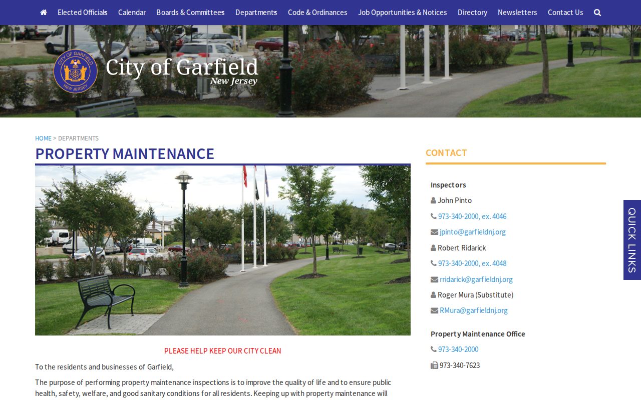
No official online Garfield code-enforcement case search was located. Request a defined address and date range from the correct city office through the available record route. A permit applicant or a person responsible for a condition may not be a neighbor or occupant, so the record must not be used to label a household.
Insider tip: Building activity can help place a renovation, demolition, addition, or inspection in time. Pair it with the recorded deed and parcel data, not with an assumption about who lived there.
Garfield Neighbors and Voter Records
New Jersey's Am I Registered? service is an individual status tool, not a guaranteed street browser. Automated inspection returned a 403 response, so its current field labels and output should be confirmed live rather than guessed. A registration record can include name, domicile or mailing address, party affiliation, election district or ward, status, and voter identifier under the governing rules, but protected fields and addresses are withheld.
Electronic voter lists may be furnished through the legally defined request process to qualified requesters at a uniform reproduction-cost charge not exceeding $375. Voter signatures, Social Security numbers, driver-license or non-driver ID numbers, and covered-person addresses are excluded or redacted. Ballot choices are secret. A blank or protected result cannot prove that a person does not live on the block.
Note: Returned sample ballots for prior occupants can alert the Bergen Superintendent of Elections, but they are a correction lead, not evidence to investigate a household.
Garfield Neighbor Community Leads
Community records need the same care as public property records. The Garfield Historical Society finding aid documents Belmont Gardens development material and Belmont Homeowners' Association folders. It also identifies church files, Chamber and Board of Trade material, school records, and local maps. Those are research leads with an arranged-access route, not online membership directories.
Belmont Homeowners' Association files
Historical Society finding aid identifies Box 10, folders 6-7, with Belmont Gardens development files. A member directory was not located.
Request route: arrange research through Garfield Public Library or the Historical Society. Do not infer current membership from the files.
Block association inquiries
Garfield's Neighborhood Revitalization Plan describes block associations, captains, neighborhood-watch, and block-party ideas, but it does not enumerate a current roster.
Correct route: ask the city office or a verified organization for a public contact, event, or records procedure. No current association contact list was verified.
Historical Chamber records
The finding aid lists Board of Trade member material from 1938-40 and Chamber officer or director material from the 1940s.
Those are historical materials arranged through the society, not a present-day commercial or neighborhood roster.
Garfield's city resources also identify congregations, the YMCA, Boys & Girls Club, recreation and senior centers, and the public library. Ask each organization whether it makes a public contact directory available. The research did not verify a consolidated member roll.
Garfield Neighbor Tools Compared
Official systems and commercial neighbor-lookup products answer different questions. A commercial category product may combine public records, marketing data, and old directory data, which can merge same-name people, lag changes, or include information that has been protected at the source. It should not replace county or city custodians when the question concerns a parcel, a deed, or a public record.
| Source type | Best use | Important limit |
|---|---|---|
| Official parcel and assessment records | Compare property boundaries, parcel facts, and recorded owner information | Owner and mailing address do not establish occupancy |
| Official deed index | Confirm transfer parties, date, and legal description | Older online gaps require a counter, archive, or microfilm route |
| Official voter route | Check lawful status or request records under State rules | It is not an open block list, and protected records remain protected |
| Commercial neighbor tools | Generate questions to verify with a custodian | Can be stale, inaccurate, merged, or unable to reflect protected information |
Correct a public-record error at the source. The Garfield Assessor handles assessment or property-card questions, the Bergen Clerk handles recording or index issues, and election or court concerns belong with their respective custodians.
Garfield Neighbor Address Myth
Myth: a postal address result proves that a named person lives there. The USPS ZIP Code Lookup cautions that a ZIP result does not confirm that a person or company is at an address. Postal geography is useful for mailing and address formatting, but it is not a resident record.
That distinction matters on a dense Garfield block. A property can have a correct address and ZIP Code while its owner receives tax mail elsewhere, its occupants are not named in public property data, or an address is protected. Use the postal result as an address check, then rely on the record custodian for the narrower question being asked.
Privacy Limits for Garfield Neighbors
A block review cannot prove renters, household members, utility customers, delivery recipients, unlisted phone users, DMV addresses, relationships among occupants, or private association membership. New Jersey's Address Confidentiality Program uses a substitute address and mail-forwarding service for qualifying participants. It protects future records but cannot remove every prior physical address already recorded. Protected-voter procedures under N.J.A.C. 5:61-11.2 also affect what appears.
Daniel's Law, P.L. 2021, c.371 and later amendments, allows redaction of eligible public servants' and household members' home addresses and unpublished phone numbers from government records and websites. The Office of Information Privacy reported on April 28, 2025 that more than 10,000 people were covered. A withheld address can be the result of a legal protection, not a gap to be filled through another source.
Lawful personal use. Use public records for legitimate personal or community research, verify important facts with the custodian, and never use an address or record detail to watch, harass, threaten, or intimidate anyone.